EXHIBITS
October 18, 2025 - Ongoing
Rinconcito de Esperanza:
The Little Corner of Hope
Torrent
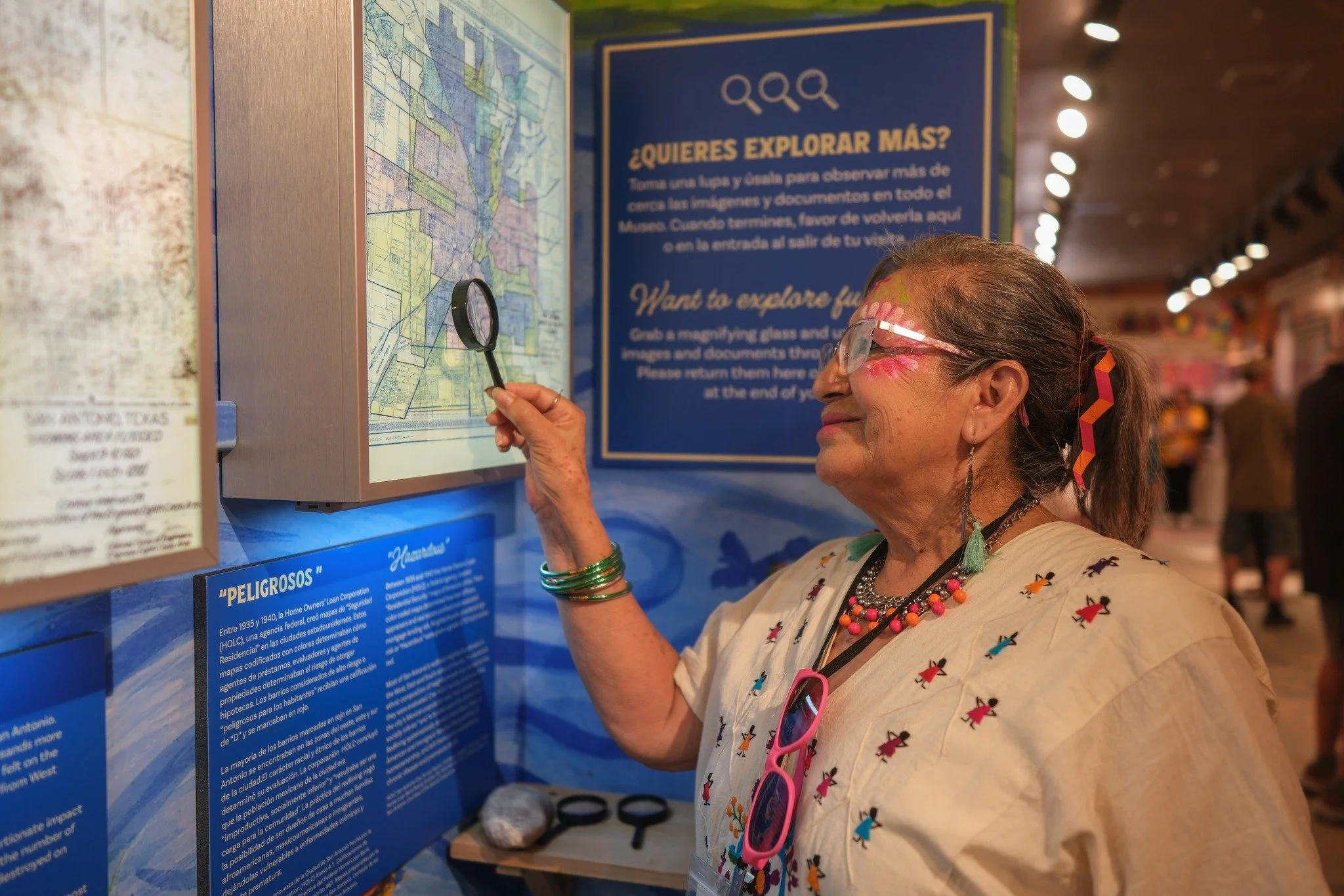
In September 1921 a flood devastated San Antonio. Approximately 80 people died, and thousands more became homeless. Most of this loss was felt on the Westside. The flood wiped out buildings from West Commerce to South Laredo.
This redrafted map reveals the disproportionate impact on the Westside.
Text on the map notes the number of people who died and houses that were destroyed on each block.
The Rinconcito is just a block away from one of the most heavily flooded areas between Alazán and Apache Creeks. Three lives were lost and ten houses were destroyed in the rinconcito’s immediate surroundings.
Before it was the Westside, it was Yanaguana. This gallery follows the history of one small but significant corner of San Antonio, from its earliest maps to the families who built their lives here.
Explore eight historical maps that trace the Westside from indigenous homeland to Spanish colonial territory to the neighborhood it is today. Each map tells a different story about who has claimed this land, who has been displaced from it, and who has fought to remain.
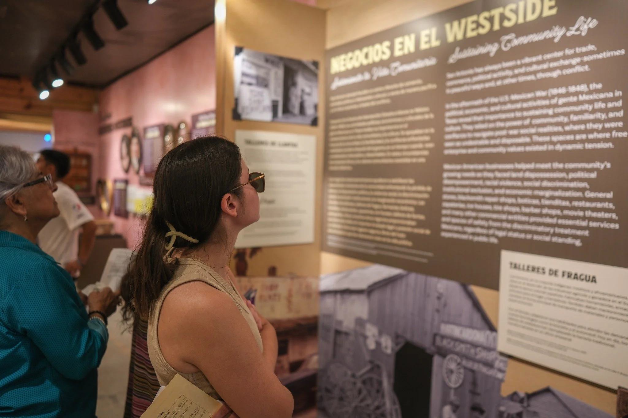
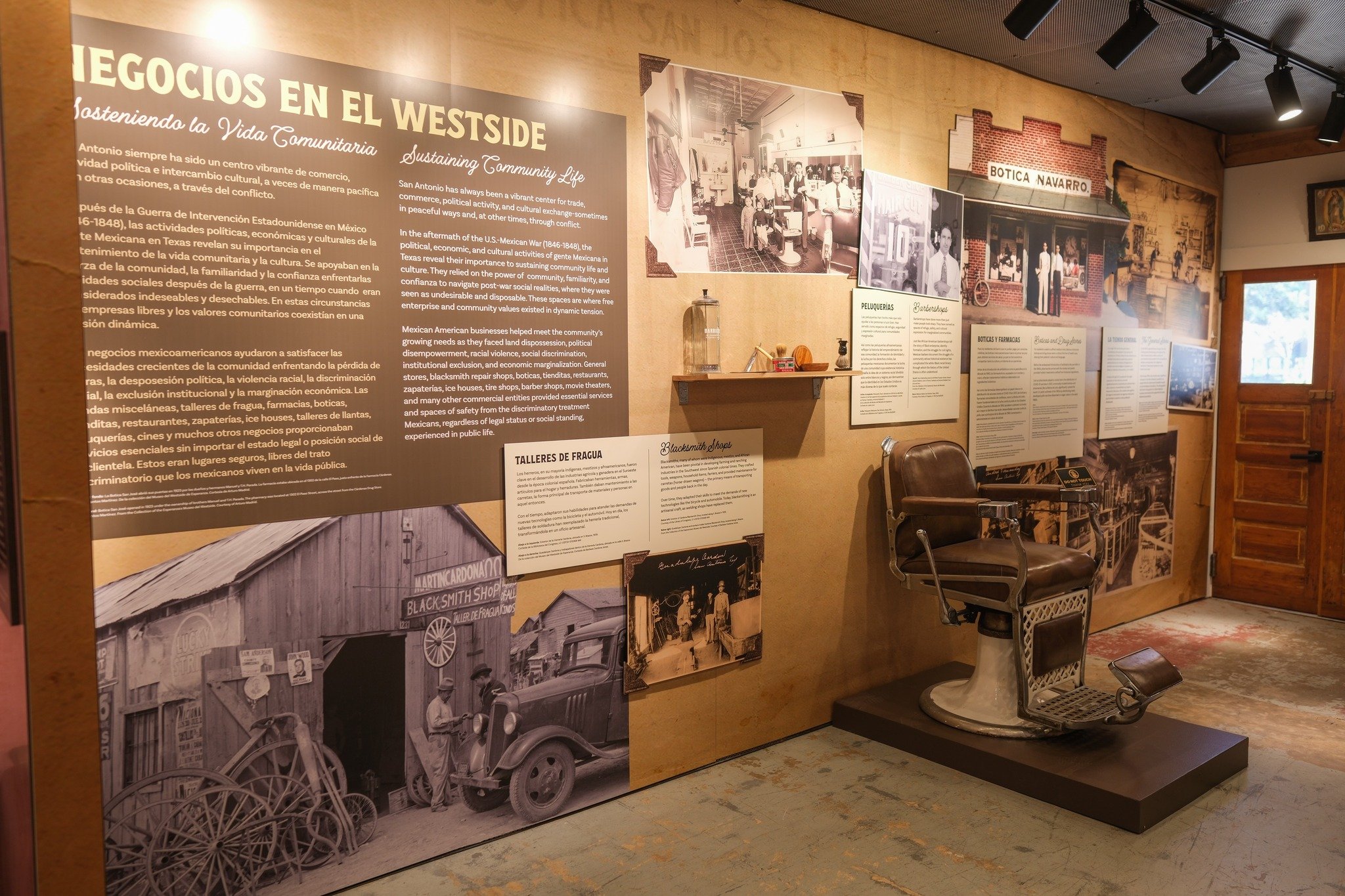
In the aftermath of the U.S.-Mexican War, Mexican American families navigated land dispossession, racial discrimination, and economic marginalization by building community through commerce. Tienditas, grocery stores, blacksmith shops, boticas, and cantinas were more than businesses. They were spaces of safety, confianza, and community life.
At the center of this gallery is the story of Élida and Manuel Reyes, who arrived in the Rinconcito in the mid-1940s and built M&E Grocery on fiando and good faith. In a time when financial institutions regularly excluded Mexicanos from credit, the Reyes family ran their store on trust, extending credit to neighbors who needed it and earning the respect of the entire community. Their story is one of many that make this corner of the Westside unforgettable.
Selected Exhibition images
-
![]()
Emilia Sánchez
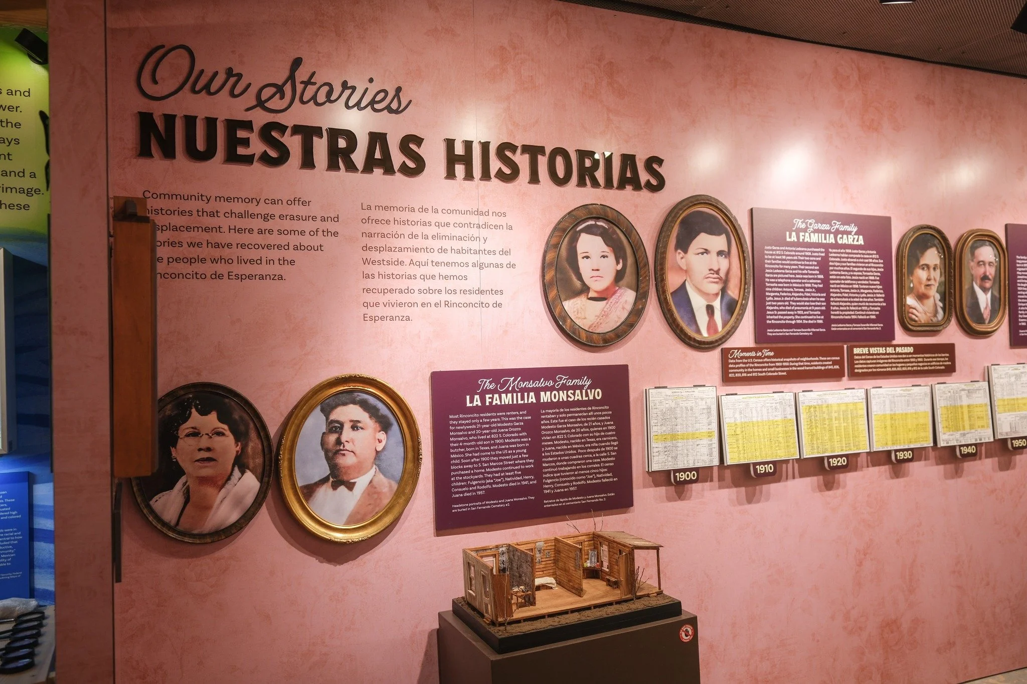
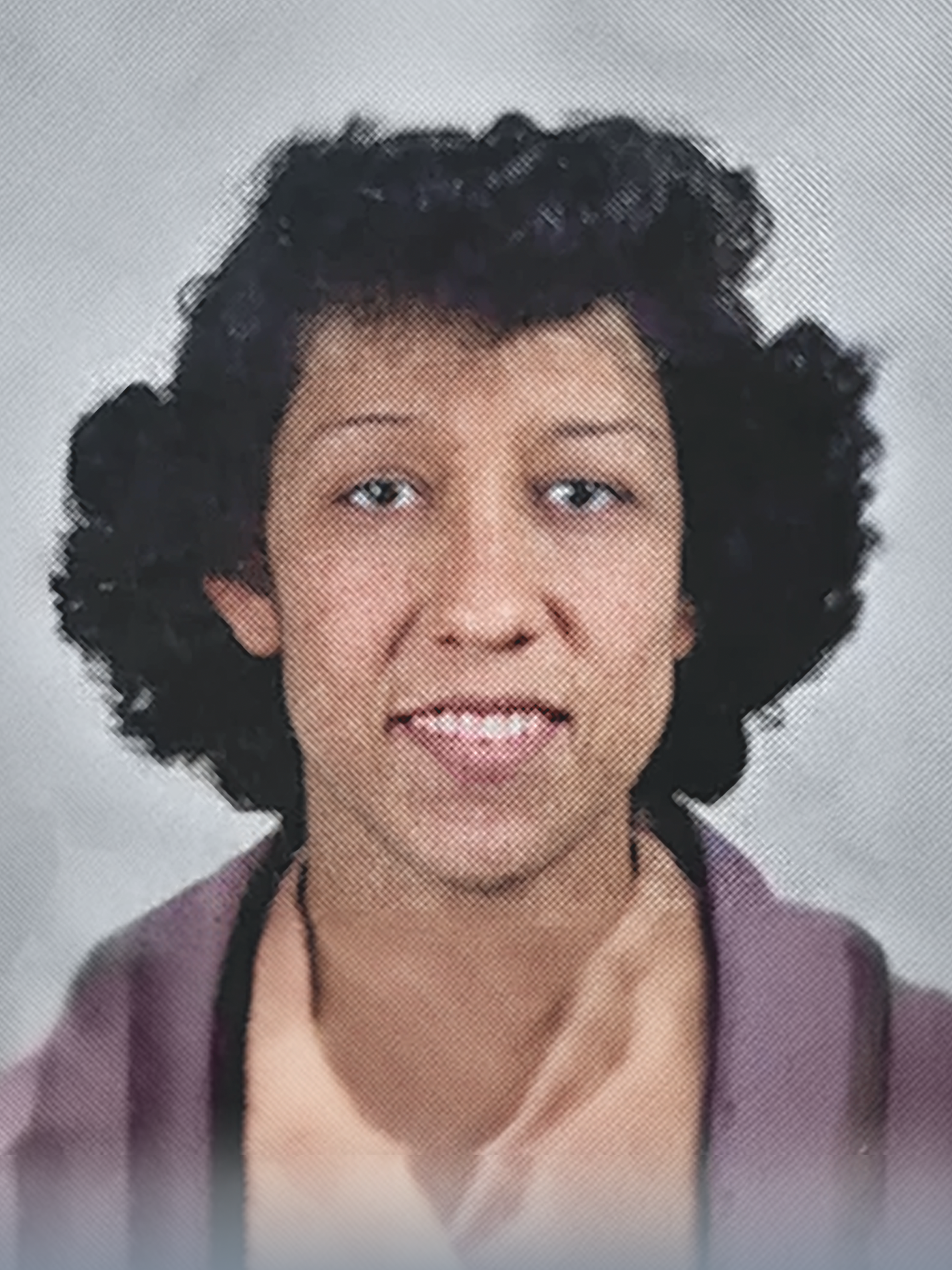
Emilia Sánchez was born in 1911 and grew up across the street from the Rinconcito. She was one of the first “Kelly Katies,” women who worked at civil service jobs at Kelly Air Force Base during World War II. She served as an aircraft instrument mechanic and in sheet metal work. After the war she continued to work at Kelly until her retirement in 1974. When Emilia lived at 816 S. Colorado, her home was known to the neighborhood as the "Casa de la Misericordia." The community knew they could appear at Emilia's house day or night and she would be ready with an herbal cure, a shared prayer, or food. As a longtime Guadalupana, she was devoted to her faith, praying for the lost and abandoned and being present for her community.
A portrait of Emilia Sánchez in the San Antonio Air Service Command Directory, Maintenance Division, Kelly Field. Circa 1942. -
![]()
The General Store
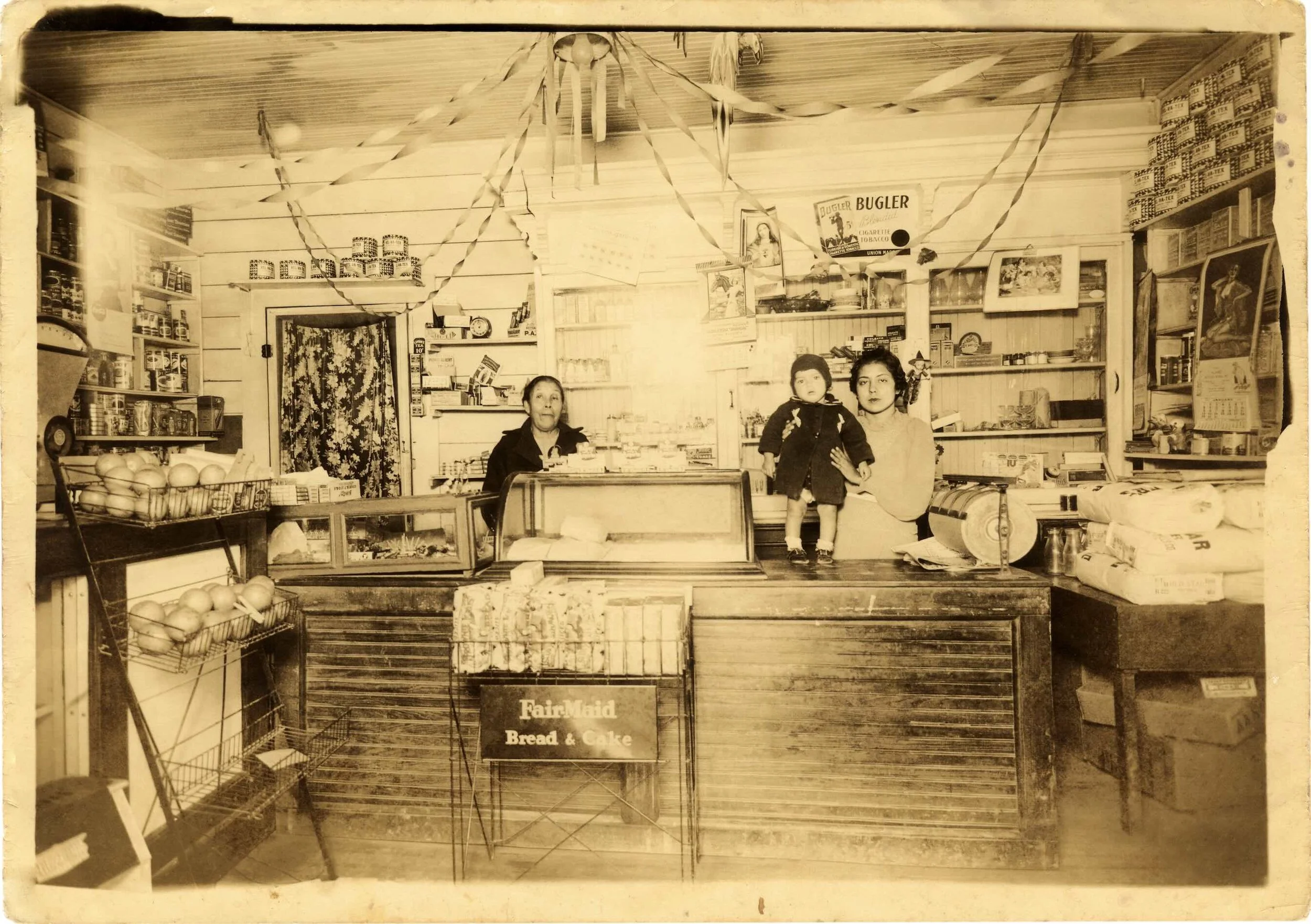
In the 1800s, general stores emerged from the trading posts that sprung up throughout the West. General stores carried a variety of merchandise that sustained the necessities of settlers moving deeper into indigenous territories. These stores operated on cash, barter, and credit.
By the early 1900s, San Antonio saw a significant increase in its ethnic Mexican population as people fled the violence and instability brought on by the Mexican Revolution. This demographic shift led to the growth of a vibrant Mexican business community that supported this newly displaced population.
Trinity Grocery, owned by Lino Salazar located at 625 S. Trinity. Pictured are Juanita Salazar (right), Berta Muñoz (baby), and Ramona Salazar (left). Courtesy of Nydia Olague
-
![]()
M&E Grocery and the Reyes Legacy
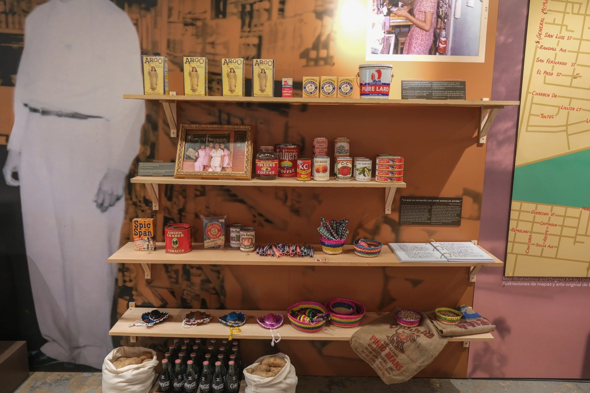
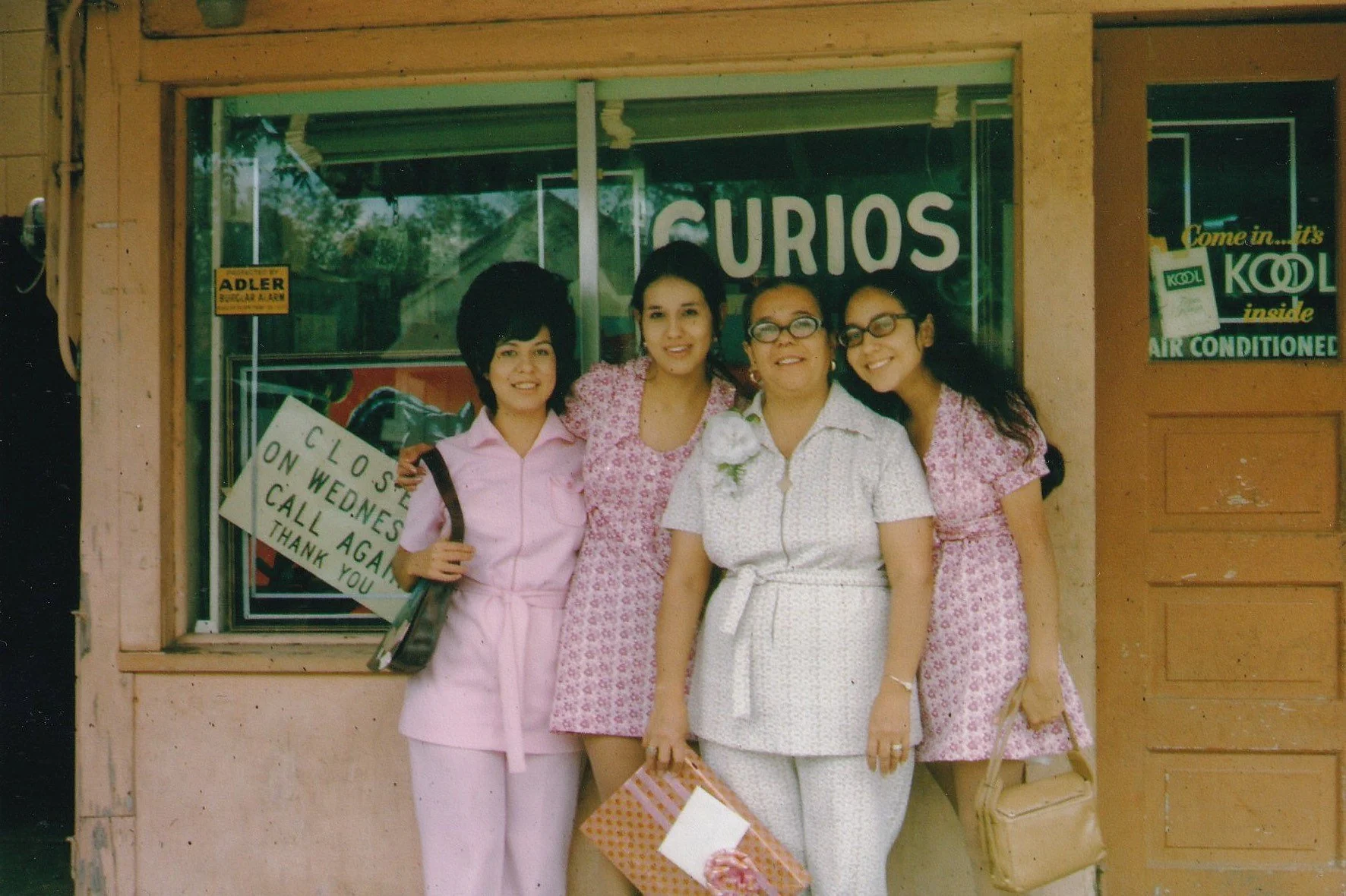
La vecindad del Rinconcito welcomed the family of Élida and Manuel Reyes in the mid-1940s, and a few years later they founded M&E Grocery in this small wooden building. M&E Grocery was born out of good faith. The former store owner offered Manuel the opportunity to take over the store and transferred ownership a fíando. In a time when financial institutions and loan officers would often reject or exclude Mexicanos from credit loans, comunidades Mexicanas often practiced fíando—an informal sale on credit but based on confianza and good faith.
Élida and daughters posing in front of la tiendita after Sunday church service.
Courtesy of the Reyes family
Installation Images